| Coordinator: Dr. Antonio José Gil Cruz (ajgil [arroba] ujaen [punto] es) |
|---|
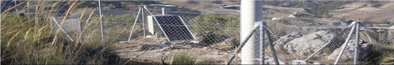
The "Microgeodesy Jaén" research group was created in 1997 in the Cartographic, Geodesic and Photogrammetry Engineering Department of Jaén University under the Andalusian Research Plan (Plan Andaluz de Investigación, PAI). It focuses its activities on the sphere of Geodesy (GPS, GALILEO, INSAR, Active Networks, and NRTK) and related sciences.
Research lines:
- Monitoring of the Earth’s Crust by means of GNSS and High-Precision Leveling (HPL)
- Satellite Radar Interferometry (InSAR)
- Controlling deformations of structures in Civil Engineering (dams, viaducts, etc.)
- Positioning and Navigation based on Active GNSS Networks
- Galileo (European Satellite Navigation System) and its integration with other systems
- Precision agriculture - Study of erosion in olive grove soils
For more information please visit the following link.